Industry Process Experience
Manage, manipulate, and interpret geospatial data collected from mineral exploration campaigns to generate 3D representations of the earth’s sub-surface.
Digitize rock, mineralization, and geological features to assist with the interpolation of resource estimates to determine the economic viability of mineral deposits.
Roles
Collaborative Designer for Surpac (UDG-OC)
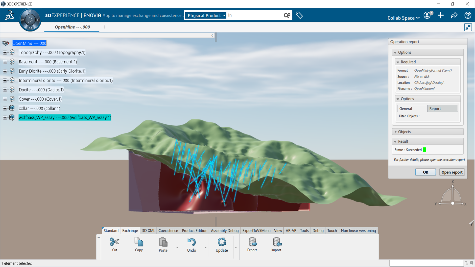
Connecting SURPAC desktop application and data to the 3DEXPERIENCE platform

Benefits:
- Collaborate effectively by connecting SURPAC desktop application and data to the 3DEXPERIENCE platform.
- Accelerate Time to Value through immersive Product Lifecycle Management capabilities inside SURPAC.
- Improve Productivity by eliminating non-value-added work producing, copying, translating Surpac data with all 3DEXPERIENCE apps.
Highlights:
- Integration of Surpac SDM data within Unified Product Structure.
- Native use of Surpac SDM data in 3DDashboard Widgets.
- Immersive access to 3DEXPERIENCE Widgets in Surpac.
- Formalized collaboration using Tasks, Change Actions.
- Surpac SDM Derived Format support in 3DEXPERIENCE Authoring Apps.
Earth Engineering Coordinator (ETC-OC)
Manage structured and unstructured geoscience information in the 3DEXPERIENCE platform

Benefits:
- Manage structured and unstructured geoscience information in the 3DEXPERIENCE platform.
- Unify the referential (Boreholes, geology model, aquifer…) underpinning the single source of truth for infrastructure development.
- Collaborate seamlessly for informed and coordinated decision making to accelerate multi-disciplinary convergence.
- Drive shared and 360° insight of geoscience for de-risked and cost-effective infrastructure development.
- Streamline geoscience information integration with design and simulation downstream processes.
Highlights:
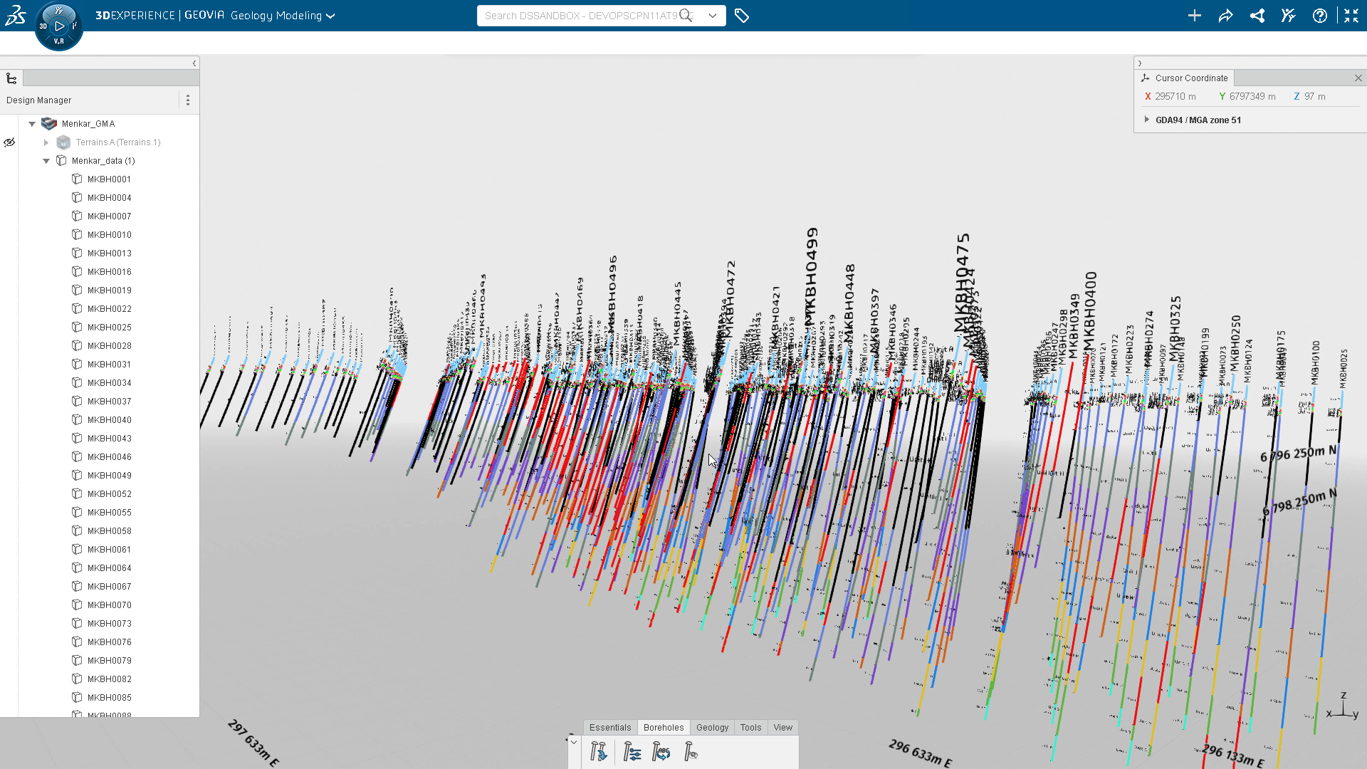
- Ingest and visualizes geoscience assets agnostic to source data format and geometry type.
- Explore immersive environment through specialized navigation experience for subsurface capital project.
- Track the relationship between raw data and interpretation.
- Federate and structures geoscience assets under the unified referential with infrastructure engineering models.
Geology Modeler (GML-OC)
Rapidly build geology and grade envelopes to inform mining and civil engineering decisions
Benefits:
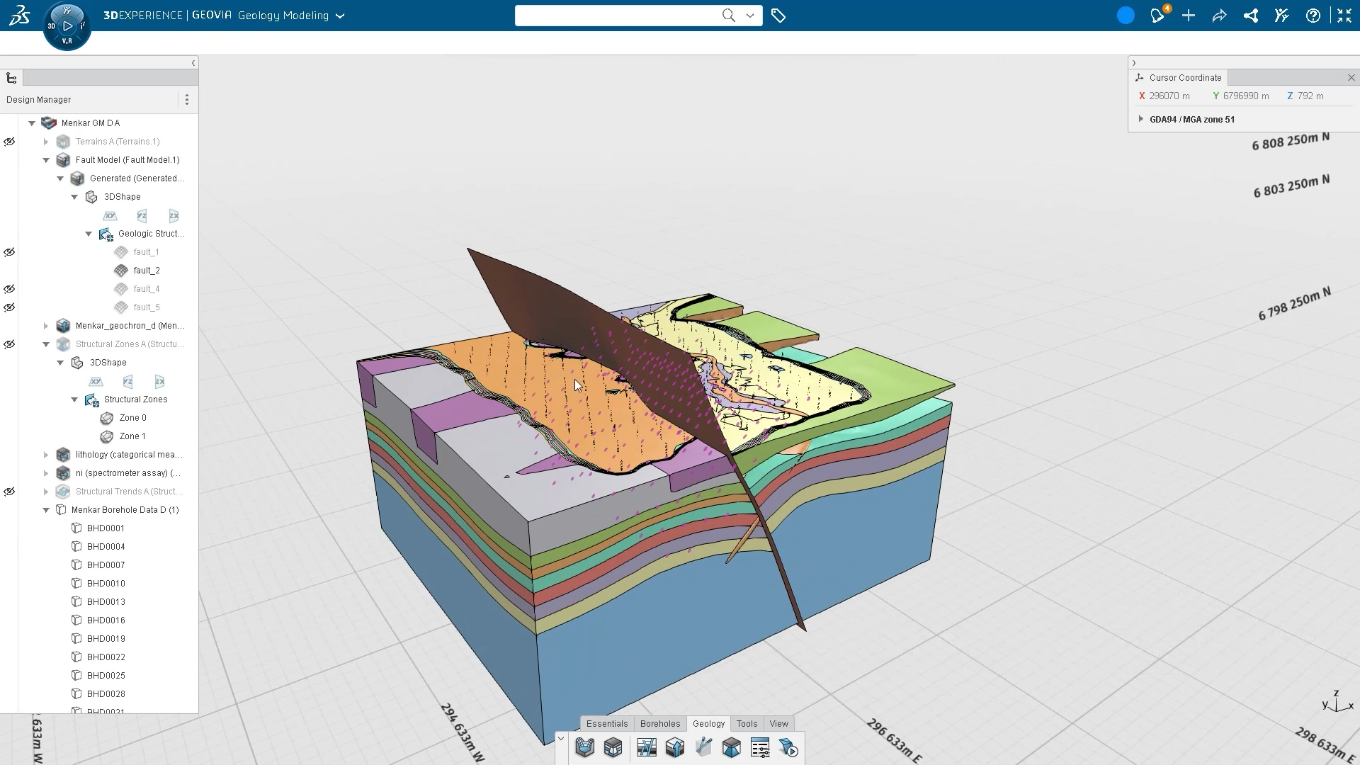
- Rapidly build geology and grade envelopes to inform mining and civil engineering decisions.
- Leverage collaboration of the 3DEXPERIENCE platform to enable knowledge sharing to improve accuracy of geology models.
- Integration with upstream and downstream processes to preserve data integrity and to leverage data knowledge across streams.
- Parametrized process allows repeatability & auditability.
Highlights:
- Create and display geological datasets.
- Select, analyze and interpret geological data.
- Implicitly create geology models and grade shells.
- Audit outputs based on associated modeling parameters.
- Versioning of geology models.
- Share geology models for consumption within the platform or third-party applications.
Geoscience Referential Manager (GRM-OC)
Ingest geoscience data for use on the 3DEXPERIENCE platform.
Benefits:
- Administrate and manage geoscience data with external data sources using a dedicated web app including, data semantics and access rights.
- Define geoscience data characteristics for the 3DEXPERIENCE platform including positioning and visual representation settings.
- Provide a constant monitoring of geoscience data’s lifecycle to maintain data integrity and auditability.
- Interpret geoscience data to allow strong & confident understanding of the underground.
Highlights:
- Ingest geoscience data for use on the 3DEXPERIENCE platform.
- Define attribute value display settings.
- Manage attribute access rights.
- Create new attribute interpretations.
- Manage status of the geoscience dataset.
- Interpret borehole in regards AEC data.

